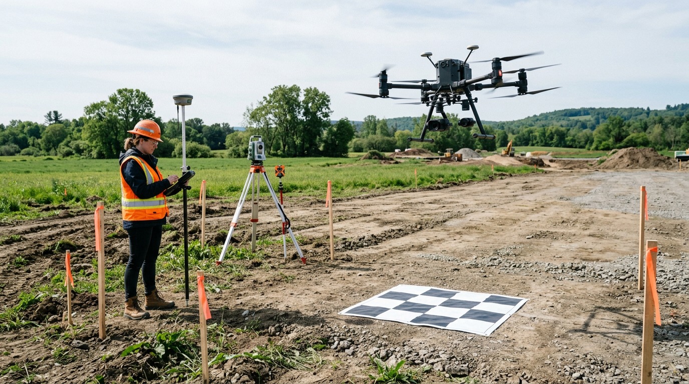
Site Planning & Pre-Construction Survey Drone Providers
Find drone mapping providers for pre-construction topographic surveys, existing-conditions capture, contours and terrain models that feed design, estimating and site logistics planning.
314 providers found
3D Flight Maryland
Maryland-based construction-focused drone firm providing orthomosaic mapping, LiDAR as-built services and progress monitoring with FAA Part 107 and OSHA 10 certified staff.
3D Land Surveying
Licensed South Carolina surveying firm (Registration #22746) providing drone LiDAR point clouds, orthomosaics and aerial topographic data.
504 Drone Imaging
Gulf South drone services provider offering aerial mapping, progress monitoring and inspections in Gulfport and Biloxi.
504 Drone Imaging (504DI)
New Orleans drone imaging firm providing high-accuracy aerial surveys, orthomosaic and topographic mapping across the Gulf South.
AIMS Engineering
Engineering and surveying firm with a Houston office using drone mapping to support site surveys, design and construction-phase documentation.
ALTA Survey Oklahoma
Oklahoma firm offering drone aerial mapping and LiDAR services including topographic surveys, 3D models and orthorectified imagery.
AMD Aerial
Palm Beach County drone services provider offering LiDAR surveying, photogrammetry and thermal inspection for local projects.
AZ Drone
Prescott drone provider offering aerial photography, 3D modeling, and construction services across the Southwest.
Above DC (Edwin Photography)
Northern Virginia firm specializing in UAS project management within the DC Flight Restricted Zone, providing 3D mapping and orthomosaic drone mapping.
Active Intelligence
New England UAV LiDAR specialist based in Rockland, Maine, delivering georeferenced point clouds and bathymetric/topographic mapping.
Advanced Aerial Solutions
FAA-certified Omaha drone firm providing 2D/3D mapping, DTMs, volumetrics and NDVI crop-health mapping across Nebraska and Iowa.
Adventure UAV
Colorado Springs drone company providing aerial mapping, volumetrics and construction progress documentation along Colorado's Front Range.