Construction Progress Monitoring Drone Providers
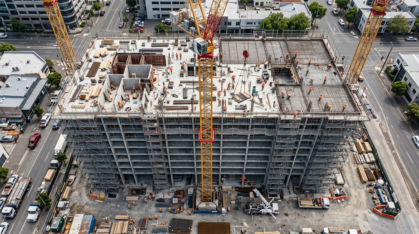
Find drone providers who capture your site on a regular schedule — weekly or monthly orthomosaics, photos, video and 3D models that show exactly what has been built and keep every stakeholder aligned.
129 providers found
3D Flight Maryland
Maryland-based construction-focused drone firm providing orthomosaic mapping, LiDAR as-built services and progress monitoring with FAA Part 107 and OSHA 10 certified staff.
504 Drone Imaging
Gulf South drone services provider offering aerial mapping, progress monitoring and inspections in Gulfport and Biloxi.
AZ Drone
Prescott drone provider offering aerial photography, 3D modeling, and construction services across the Southwest.
Access Aerial
Northeast Pennsylvania drone services company providing orthomosaic mapping, 3D modeling and construction monitoring since 2014.
Adventure UAV
Colorado Springs drone company providing aerial mapping, volumetrics and construction progress documentation along Colorado's Front Range.
Aeon Ridge Aerial
East Tennessee drone company providing construction mapping, 3D site models and orthomosaic mapping for development and utility projects.
Aerial Drone Scan
Atlanta drone scanning firm producing site maps, 3D models and measurement data for construction and development projects.
Aerial Insights Mapping
Los Angeles drone mapping firm offering 3D models, thermal and facade inspections and site data for construction and property teams.
Aerial Vision Chicago
Chicago aerial media company documenting construction progress with drone photography and video for builders and developers.
AeroFrohne
Kansas City drone company specializing in civil engineering and construction support with georeferenced orthomosaics and surface modeling.
Aeroscape Drone Solutions
Fort Worth drone firm delivering aerial mapping, volume measurements and progress documentation for construction and development sites in North Texas.
Affinis
Overland Park engineering firm providing survey and UAS services including topographic surveys, construction staking and aerial drone mapping.