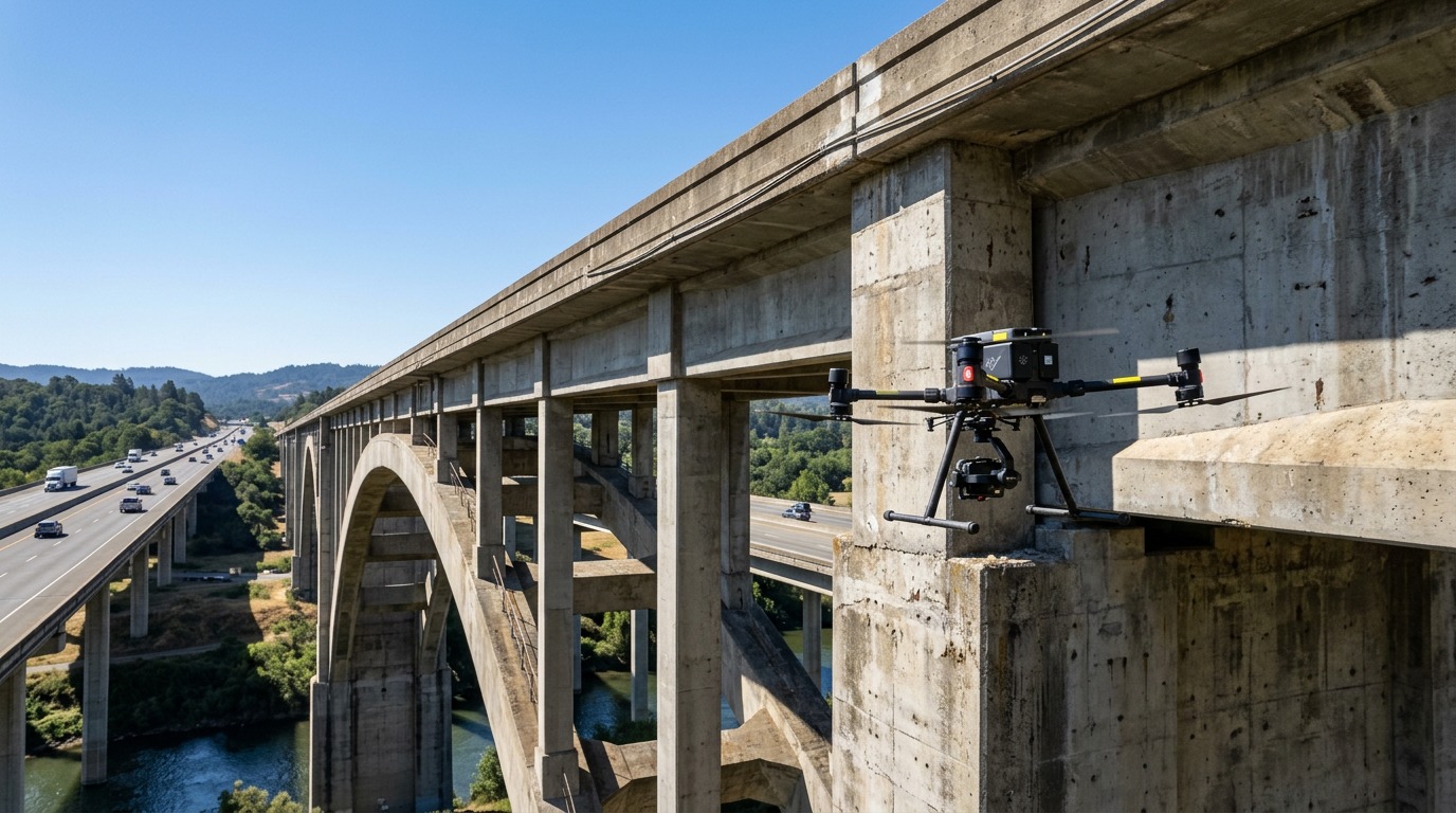
Infrastructure & Bridge Inspection Drone Providers
Find drone inspection specialists for bridges, highways, rail, utilities and other civil structures — close-up imagery, thermal and 3D models that reduce access costs and lane closures.
11 providers found
AerieView Drone Solutions
Sheridan-based Wyoming firm providing 3D mapping, thermal imaging, and infrastructure inspections.
Alaska Drone
Anchorage-based commercial UAS provider with statewide operations offering RTK mapping, photogrammetry/LiDAR 3D modeling and infrastructure inspection.
Bess Utility Solutions
California firm with Sacramento, Fresno and Orange offices providing drone aerial mapping, LiDAR and thermal inspection for utility and infrastructure projects.
Bridgeport Land Surveying
Bridgeport land surveying firm providing drone aerial mapping and LiDAR to create 3D models, DTM surfaces and orthorectified imagery matching survey lines.
FlyWorx
Drone services provider with nationwide coverage and a strong Tampa Bay presence, offering aerial mapping, photogrammetry and infrastructure inspection for construction.
Helios Visions
Chicago AEC-focused drone company specializing in 3D reality capture, mapping and facade/bridge inspections.
Lancaster Aerial Inc.
Lancaster-based aerial data company using DroneDeploy and Pix4D to deliver 3D models and infrastructure inspections.
NADAR Drone Company
Atlanta drone company providing aerial mapping, surveying support and infrastructure inspection for construction and design clients.
Nadar
Chicago drone provider offering construction management, land surveying, mapping and infrastructure inspection services.
Nadar Drone
National drone service provider with Mountain West presence offering land surveying, mapping, and infrastructure inspection.
Sky Ladder Drones
Georgia commercial drone provider offering LiDAR mapping and infrastructure inspection with end-to-end project management.