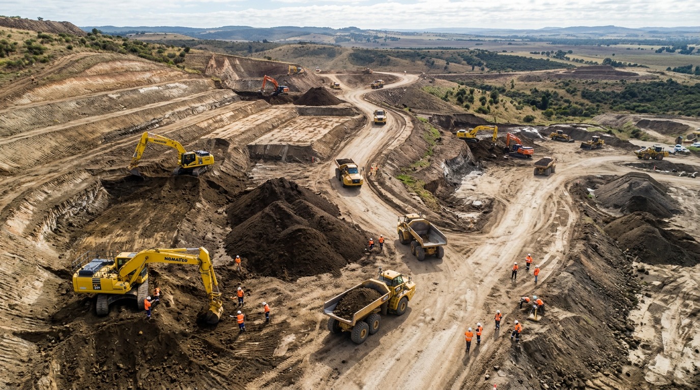
Earthwork & Cut/Fill Volumetrics Drone Providers
Find drone specialists for cut/fill analysis, stockpile volumes, grade checks and haul quantities — survey-grade surfaces compared against design to track earthworks and verify payments.
104 providers found
504 Drone Imaging (504DI)
New Orleans drone imaging firm providing high-accuracy aerial surveys, orthomosaic and topographic mapping across the Gulf South.
Advanced Aerial Solutions
FAA-certified Omaha drone firm providing 2D/3D mapping, DTMs, volumetrics and NDVI crop-health mapping across Nebraska and Iowa.
Adventure UAV
Colorado Springs drone company providing aerial mapping, volumetrics and construction progress documentation along Colorado's Front Range.
Aeon Ridge Aerial
East Tennessee drone company providing construction mapping, 3D site models and orthomosaic mapping for development and utility projects.
Aerial Drone Scan
Atlanta drone scanning firm producing site maps, 3D models and measurement data for construction and development projects.
Aerial Field Services
Drone mapping firm specializing in energy-sector pipeline route surveys, pad site mapping and cut/fill volumetrics with geo-referenced deliverables.
Aerial Land Surveying, D.P.C.
Long Island surveying firm combining traditional methods with aerial LiDAR and photogrammetry for topographic, boundary and as-built surveys.
Aerius View
Operator network connecting clients with FAA-certified pilots for topographic mapping, volumetrics, and multispectral imaging.
AeroFrohne
Texas firm providing RTK-accurate photogrammetry, orthomosaics, contour and volume deliverables for AEC and industrial clients across multiple Texas cities.
AeroFrohne
Rhode Island RTK drone services company turning aerial imagery into orthomosaics, DSM/DTM surfaces and measurable 3D models.
AeroViews
Las Vegas firm providing LiDAR mapping, photogrammetry, and volumetric analysis for Southern Nevada developers and contractors.
AeroViews
California-wide drone services firm providing RTK/LiDAR survey-grade mapping, photogrammetry, orthomosaics and bathymetry for engineering and development projects.