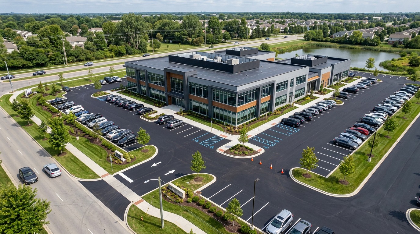
As-Built Documentation Drone Providers
Find drone providers who deliver accurate as-built records — orthomosaics, point clouds, CAD linework and BIM-ready models for handover, facilities management and close-out.
11 providers found
3D Flight Maryland
Maryland-based construction-focused drone firm providing orthomosaic mapping, LiDAR as-built services and progress monitoring with FAA Part 107 and OSHA 10 certified staff.
AIMS Engineering
Engineering and surveying firm with a Houston office using drone mapping to support site surveys, design and construction-phase documentation.
Aerial Drone Scan
Atlanta drone scanning firm producing site maps, 3D models and measurement data for construction and development projects.
Aerial Land Surveying, D.P.C.
Long Island surveying firm combining traditional methods with aerial LiDAR and photogrammetry for topographic, boundary and as-built surveys.
Aloha Mapping Solutions
Honolulu firm providing high-precision 3D laser scanning and drone mapping statewide, including as-built drawings and CAD/BIM deliverables.
C3 Building Solutions
Houston reality-capture firm combining drone and laser scanning to produce as-built models and BIM-ready data for building and construction teams.
GPRS (Ground Penetrating Radar Systems)
National firm with West Virginia coverage (Beckley, Clarksburg) providing 3D laser scanning, drone imagery and orthomosaic mapping for as-built and BIM workflows.
Pilot Lens
Austin drone company with construction packages covering time-lapse progress imagery, 3D models, point clouds and orthomosaic maps.
Polysurveying
Alabama surveying firm with 40+ years of experience integrating drone LiDAR and photogrammetry into ALTA, topographic and as-built surveys.
Scan Skunks
LiDAR scanning and as-built documentation firm offering drone mapping and scan-to-BIM services in the Worcester area.
Valentino & Associates
Atlanta-area surveying firm using Matrice 300 RTK with GeoCue TrueView LiDAR for topographic, boundary and as-built drone surveys.